

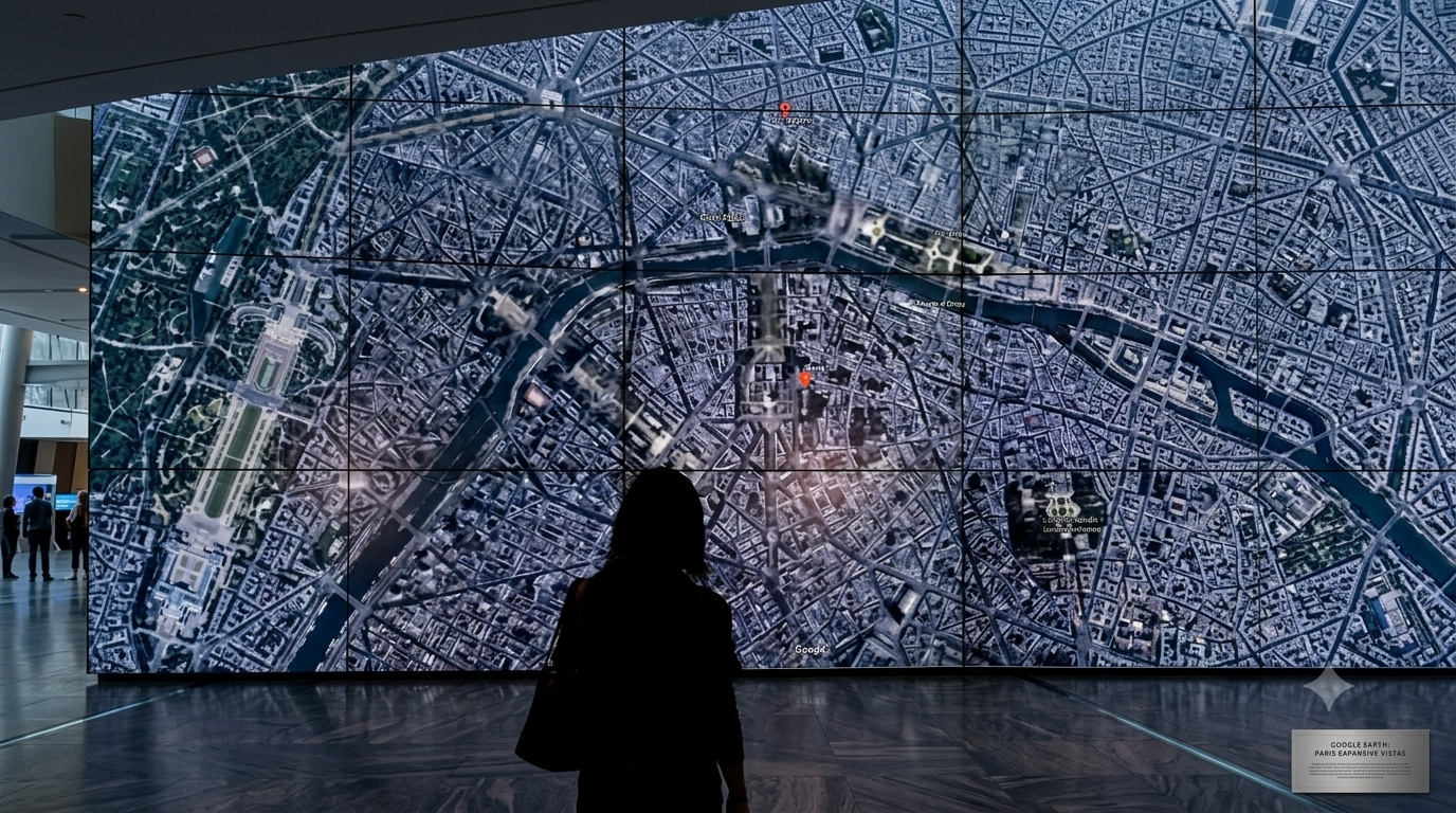
Company pauses Google Earth feature that allowed users to create AI-generated visuals over satellite imagery following criticism from researchers.
WASHINGTON, (AFP): Google has rolled back a new artificial intelligence feature in Google Earth that allowed users to generate AI-created visuals over satellite imagery after researchers and open-source intelligence experts raised concerns about its potential misuse.
The technology company said Friday that it was removing the feature temporarily while it develops stronger safeguards to prevent the creation and spread of misleading geospatial images.
“We’ve seen geospatial professionals using this feature for a range of useful purposes, however we’ve also seen people sharing screenshots of generated imagery that appear to violate our policies,” a Google spokesperson said.
“We know that people uniquely trust Google Earth for a reliable view of the world,” the company added.
Why did Google remove the AI image feature?
Google introduced the “create image” tool on Thursday, integrating its Nano Banana 2 image-generation technology into Google Earth.
The feature allowed users to select locations and create AI-generated visuals using satellite, aerial and 3D mapping data. Google said the tool could be used for purposes such as visualising historical events and developing real estate plans.
However, researchers warned that the feature could be used to create realistic fake satellite images, potentially making it harder for journalists, investigators and the public to verify real-world events.
Digital investigations expert Henk Van Ess criticised the move, saying Google Earth had spent years becoming a trusted reference for verifying locations and events.
What concerns did researchers raise?
Experts said AI-generated satellite imagery could be exploited to spread misinformation during conflicts, political events and emergencies.
Brady Africk, a satellite imagery analyst at the American Enterprise Institute, said the tool could make it easier to produce convincing fake imagery that could mislead the public and undermine trust in satellite-based verification.
AFP testing of the feature found that it could generate fake scenes including explosions, military sites and other sensitive locations.
Researchers also warned that fabricated images could complicate the work of journalists and open-source intelligence groups that rely on satellite imagery to verify information.
What safeguards did Google introduce?
Google said images created using the tool included SynthID digital watermarks, invisible markers designed to identify AI-generated content.
The company said it takes misinformation concerns seriously and requires users to avoid misleading or deceptive uses of its artificial intelligence tools.
Following the backlash, the “create image” option was removed from Google Earth as the company works on additional safeguards.
The decision comes amid broader concerns over the impact of AI-generated content, after previous fake images, including a fabricated image of an explosion near the Pentagon in 2023, briefly affected public perception and financial markets.